

Services
Comprehensive Surveying & Engineering Solutions.
Surveys, Cadastre, Urban Planning, Delineations. (ή Boundary Demarcations)
Expertise & Reliability.
We undertake all types of studies, from simple topographical diagrams to complex urban planning applications and Cadastral corrections, always applying current regulations.

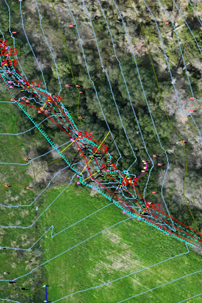
Topographical Surveys
Preparation of topographical diagrams for notarial deeds & building permits.
Surveys of hotel units & mining sites.
Drone photogrammetric surveys.
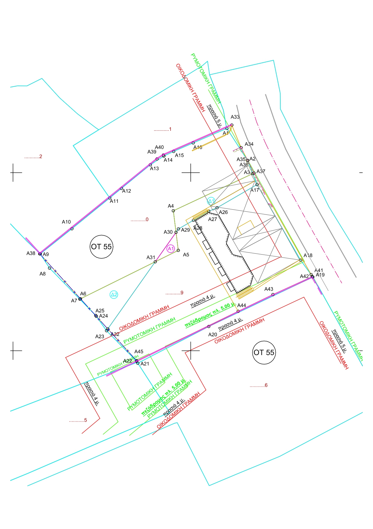
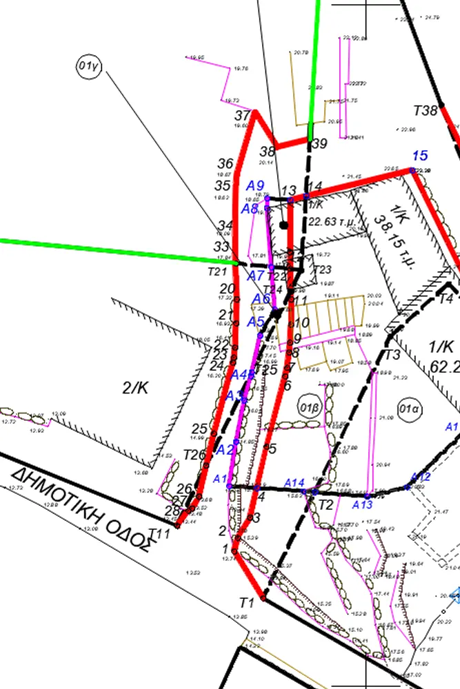
Cadastre & Land Registry
Property declarations.
Corrections of geometric elements.
Diagrams of Geometric Changes (DGM)
Τεχνική υποστήριξη σε ενστάσεις.


Urban Planning
Urban planning studies & town plan modifications.
Implementation Acts.
Special Urban Plans (Law 4759/2020).
Spatial planning studies.
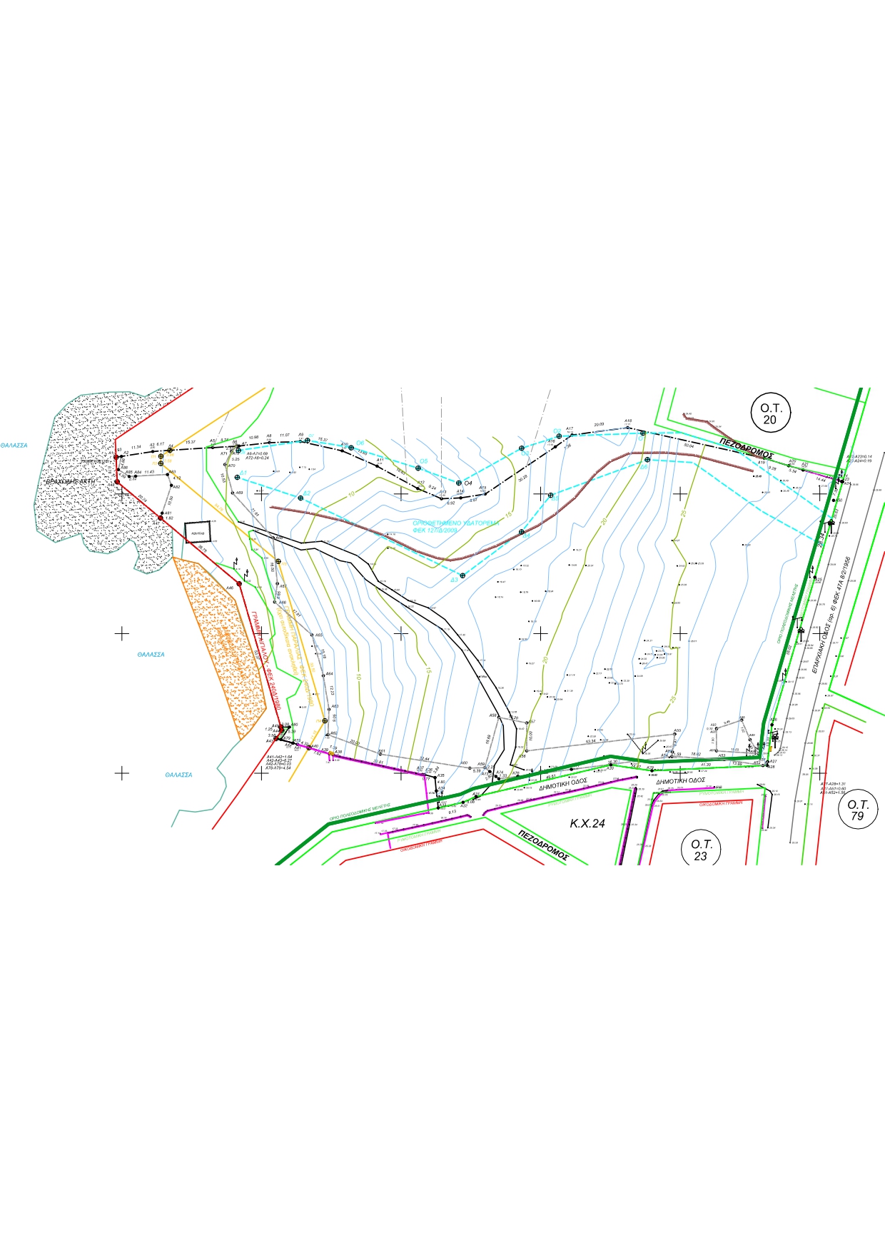
Delineations
Hydraulic studies & flood line demarcation.
Stream delineations (Temporary & Definitive).
Environmental licensing.